The investigation of the trees that once stood on the south coast of Iceland.
By Graatje Weber - Editor Beyond Travels
Climate change is a hot topic. As record-breaking years pass, our planet seems to be in a transition towards a warmer climate. This results in shrinking glaciers and ice caps. As dramatic as it sounds, it can be exciting too. What lies under the ice? What will we find when the ice retreats? Alarming messages about deadly viruses, frozen for thousands of years, being released due to ice melting have already spread across the internet. In this blog, and documentary, we are going to investigate a forgotten forest that once stood on the south coast of Iceland. We also created a mini-documentary about the whole expedition which can be viewed here.
April 2023: We got in touch with Einar Rúnar Sigurðsson, an Icelandic specialist on glaciers, to film a small expedition to the Breiðamerkurjökull glacier about a forgotten forest. Einar is quite a figure as he is the first one who started going glacier tours in Iceland. He teamed up with his friend Johan Helgason who happens to be geology scientist, passionate about glaciers. Last but not least, Þórhildur Egilsdóttir joined the expedition and brought the best lentil soup to warm ourselves at the glacier’s edge. Now, what was this expedition all about? Allow us to tell you everything about it!
BreiðamerkurjökullToday
The Breiðamerkurjökull (jökull = glacier in Icelandic) is one of the most popular places of the country for tourism. Travelers from all over the world want to see the massive tongue of ice, the glacial lagoon filled with ice bergs and Diamond Beach. A beach? Yes, Diamond Beach is the name given to the black sand beach where ice chunks from the glacial lagoon drift to the open ocean. The large waves of the North-Atlantic Ocean crash the ice chunks back ashore, resulting in a black beach covered with bright blue ice crystals. It is a beautiful sight!
The glacial lagoon is filled with large ice bergs and seals. Boat tours take tourists on a exploration tour across the lagoon. The Breiðamerkurjökull glacier has become a world-famous place. One might ask when seeing pictures of the landscape: why are there no trees?
The History
Icelandic settlement is generally believed to have begun in the second half of the ninth century, when Norsemen migrated across the North-Atlantic Ocean. In these times, people often used recognizable features of the landscape to give names to places. For example: a large tree, lake, waterfall or a rock with distinctive shapes were often used to navigate and map new land. Our own country, The Netherlands, consists of two words. The “nether” (low) “lands” (regions). This is a perfect example to understand how people, many ages ago, created names for land. At least 26% of The Netherlands is currently beneath sea level. With climate change in mind this percentage may rise in the future.
Back to Breiðamerkurjökull. This names derives from the world “Breiða” (broad), “merkur” (forest) and “jökull” (glacier). The difficult name Breiðamerkurjökull means the Broad Forest Glacier when translated into English (how to pronounce) A name quite surprising as there is no tree in sight at Breiðamerkurjökull. This is what our expedition with Einar and Johan is all about. To find the broad forest that the Norsemen used to name this area.
The Glacier Ate Everything
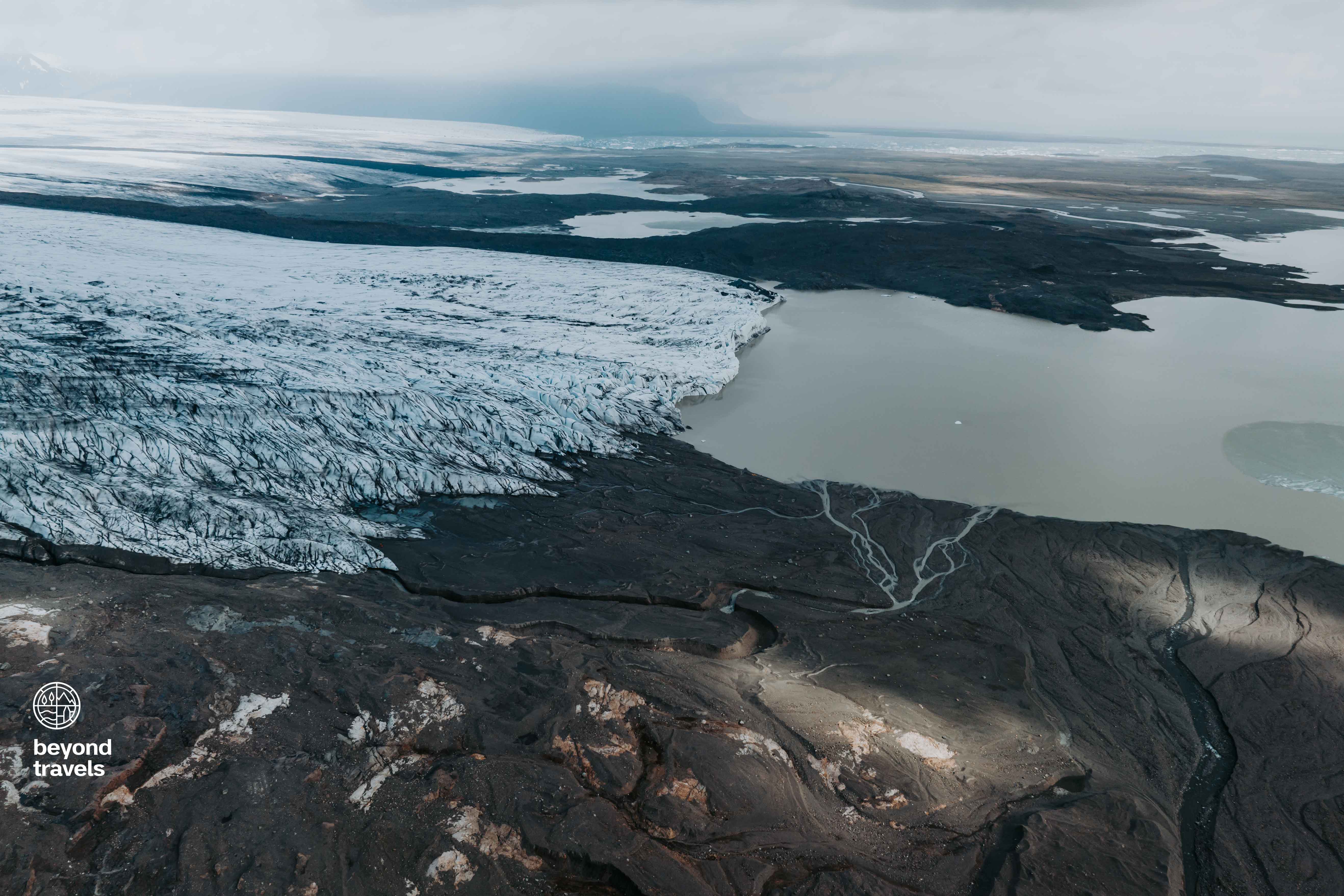
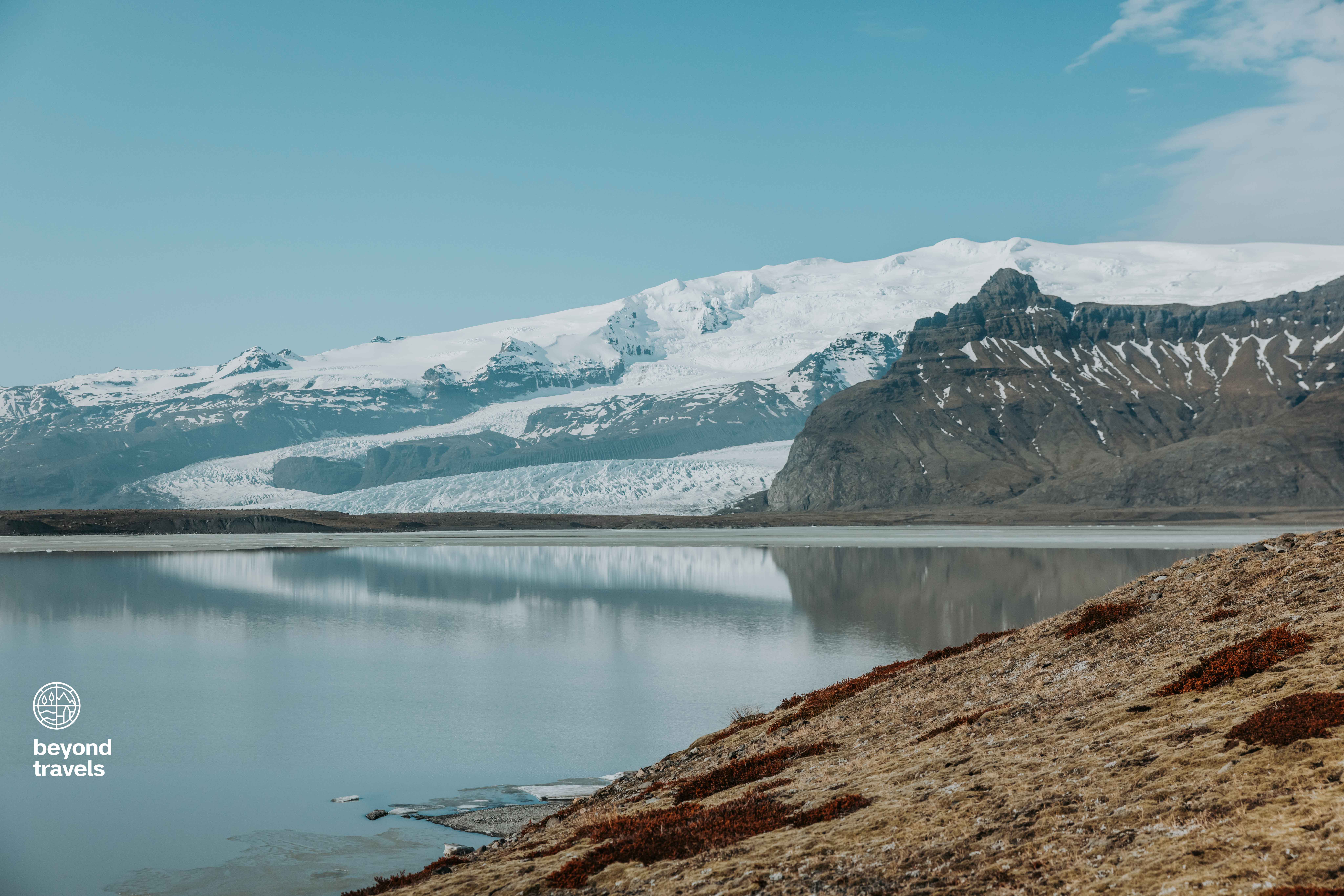
Iceland is one of the most geological active countries on Earth. The diverging movement of the continental plates of the North-American plate and the Eurasian plate are the cause of an interesting geological activity. Yet, in this case it’s not all about the volcanoes. At Breiðamerkurjökull the glaciers are the biggest players. Ice is one of the strongest forces to change a landscape. In the year 2024 the area of Breiðamerkurjökull is part of the massive Vatnajökull National Park, the largest glacier of Europe, with a staggering size of 7.900 square kilometers.
According to Johan the area looked much different in the time of the settlement in Iceland. Norsemen arriving at the south coast did not get to see a massive glacier. Climate was different 1.000 years ago. Temperatures were warmer, the glacier was not, or only partly, existent. The warmer climate and absence of a thick layer of ice gave trees the opportunity to cover the land.
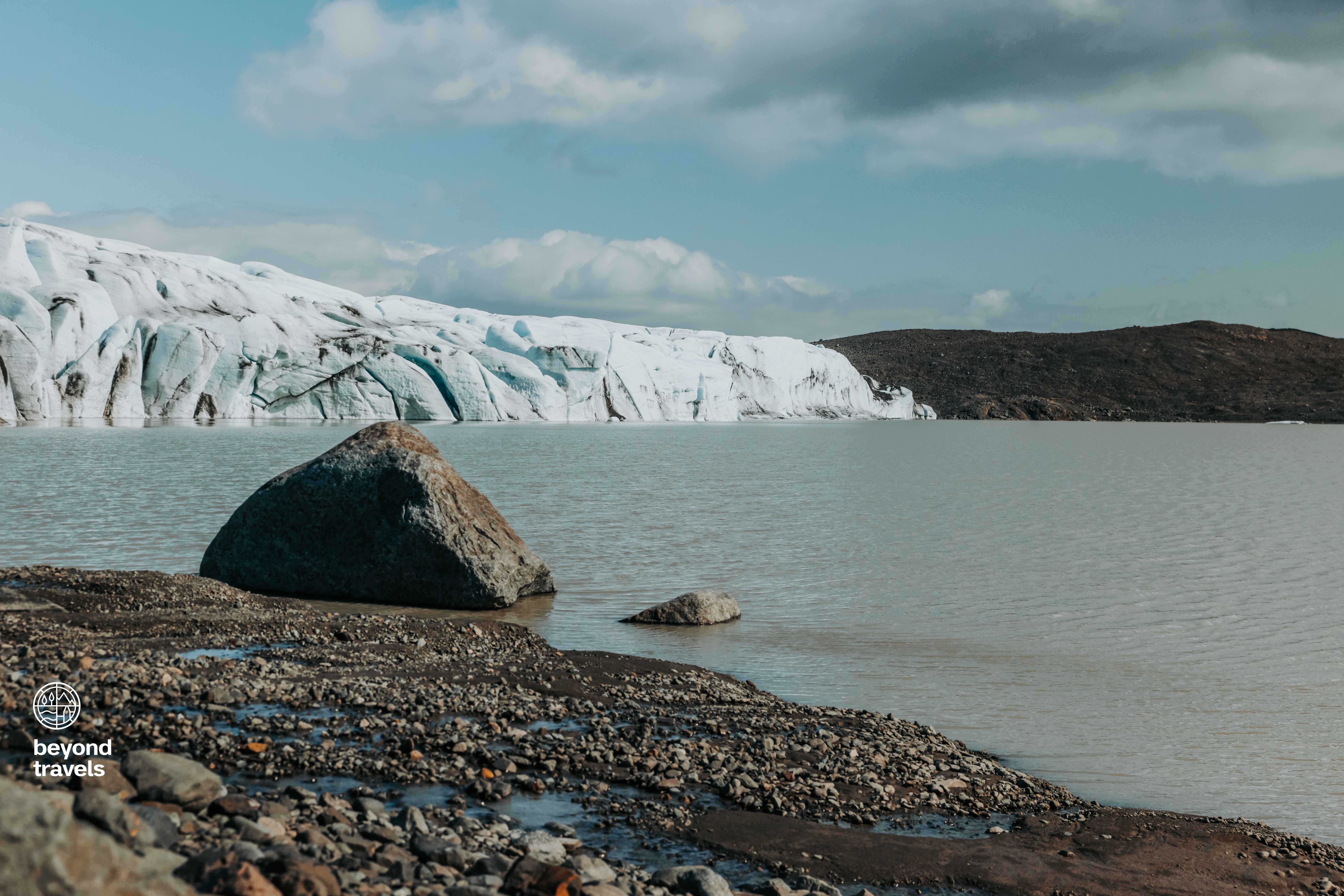
Johan explains: “There was a farm during the time of the settlement at the foot of the glacier we see today. The models show that at least at the year 1.000 the glacier was far, far behind. It wasn’t until the 13th century that the glacier started to advance.” Pointing to the fact that the glacier was very small 1.000 years ago. Between the 13th and 19th century there was a so-called ‘mini ice age’ in Iceland which impacted the climate, and glaciers. The farms from the settlement got eaten by a colossal tongue of ice growing bigger and bigger in, geological terms speaking, extremely fast speed.
At its peak, the Breiðamerkurjökull glacier nearly touched the waters of the ocean. A glacier destroys everything in its path when growing. Tens of meters of ice are basically a bulldozer flattening everything in its way. Trees, buildings, soil, roads… It all gets eaten by the glacier and ends up in, or under, the ice. The hypothesis of Einar and Johan is that the glacier ‘ate’ the forest that once stood in the area. It was still there when the Norsemen arrived, but vanished under the ice a few centuries later. The name “broad forest” was already given.
The Expedition
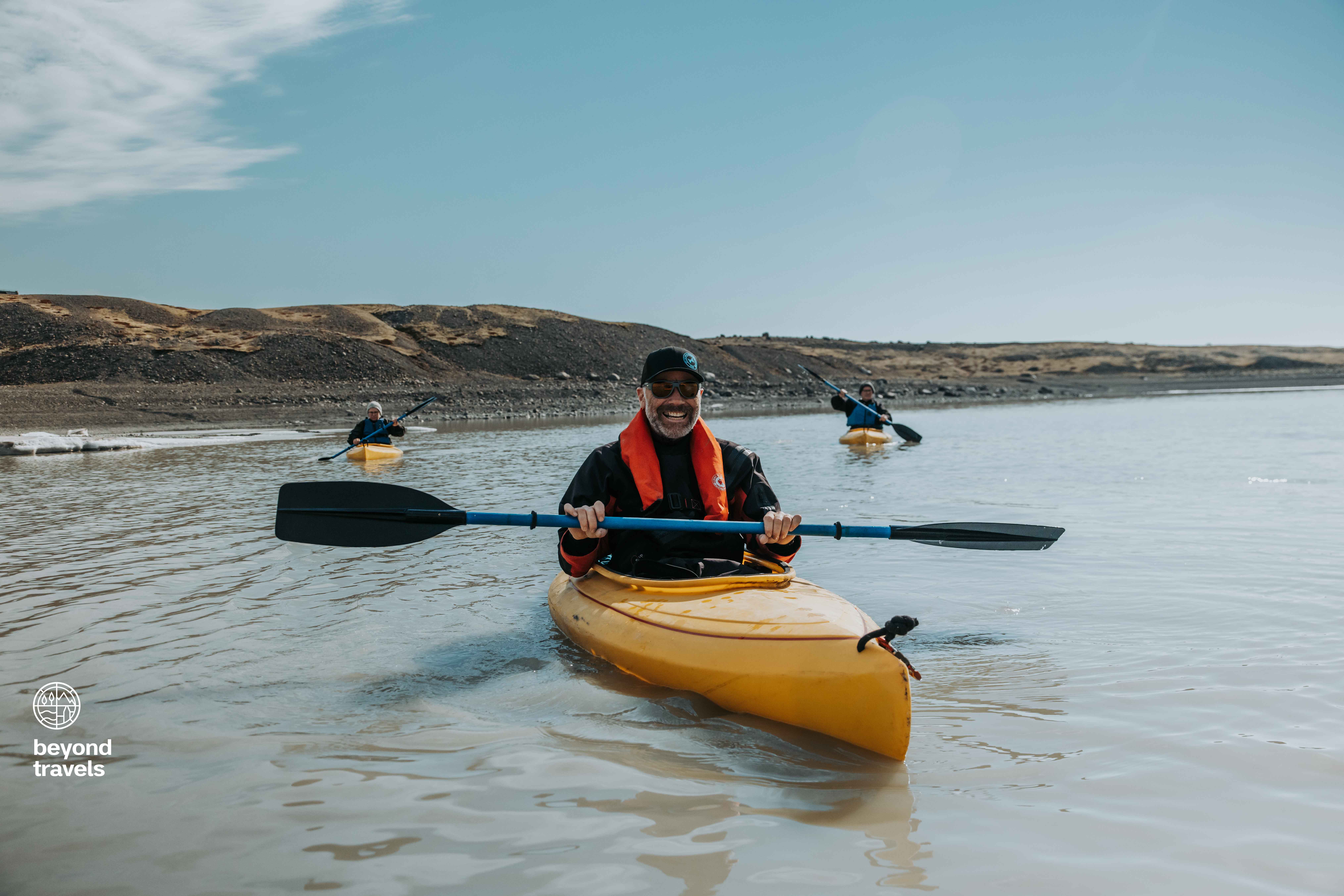
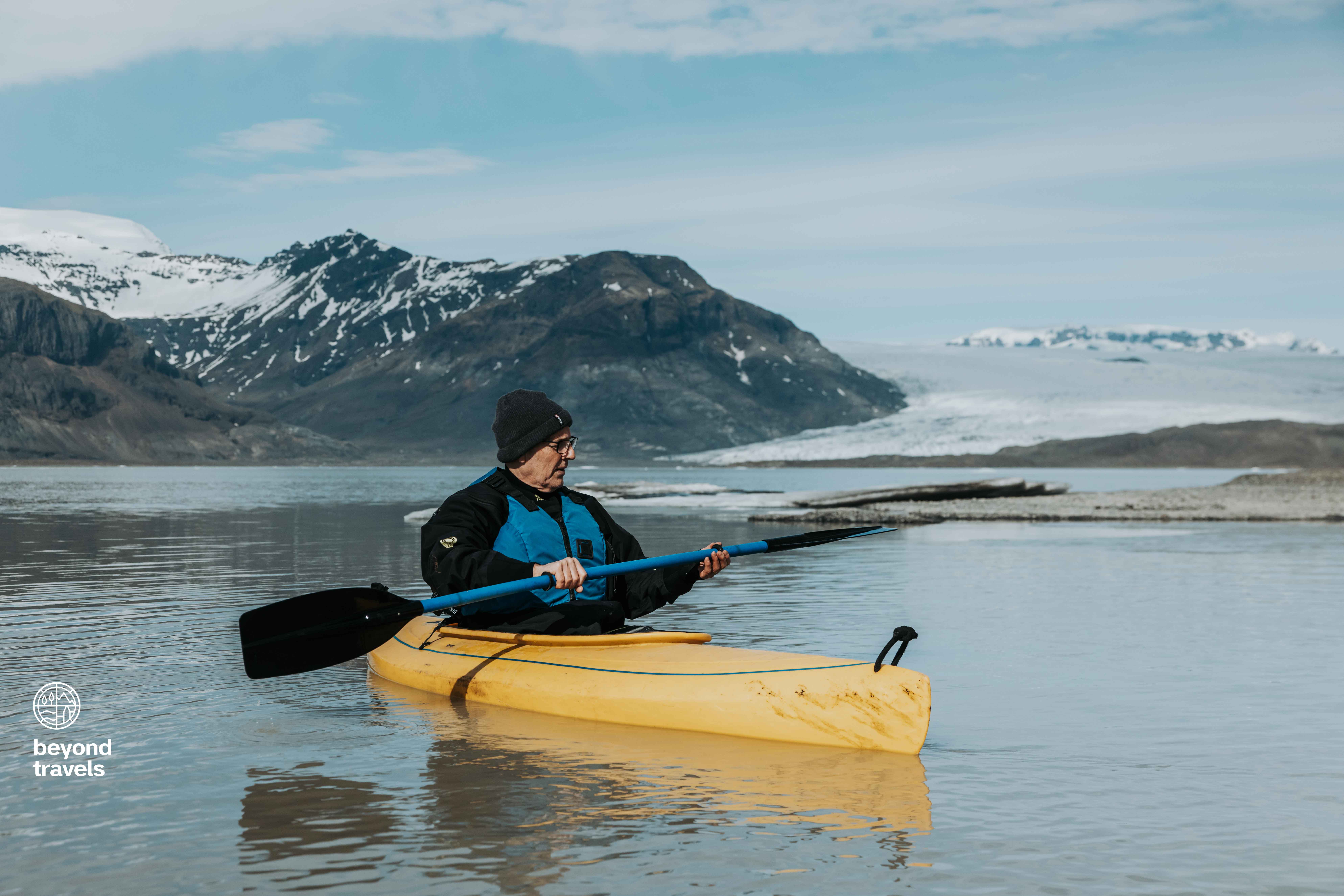
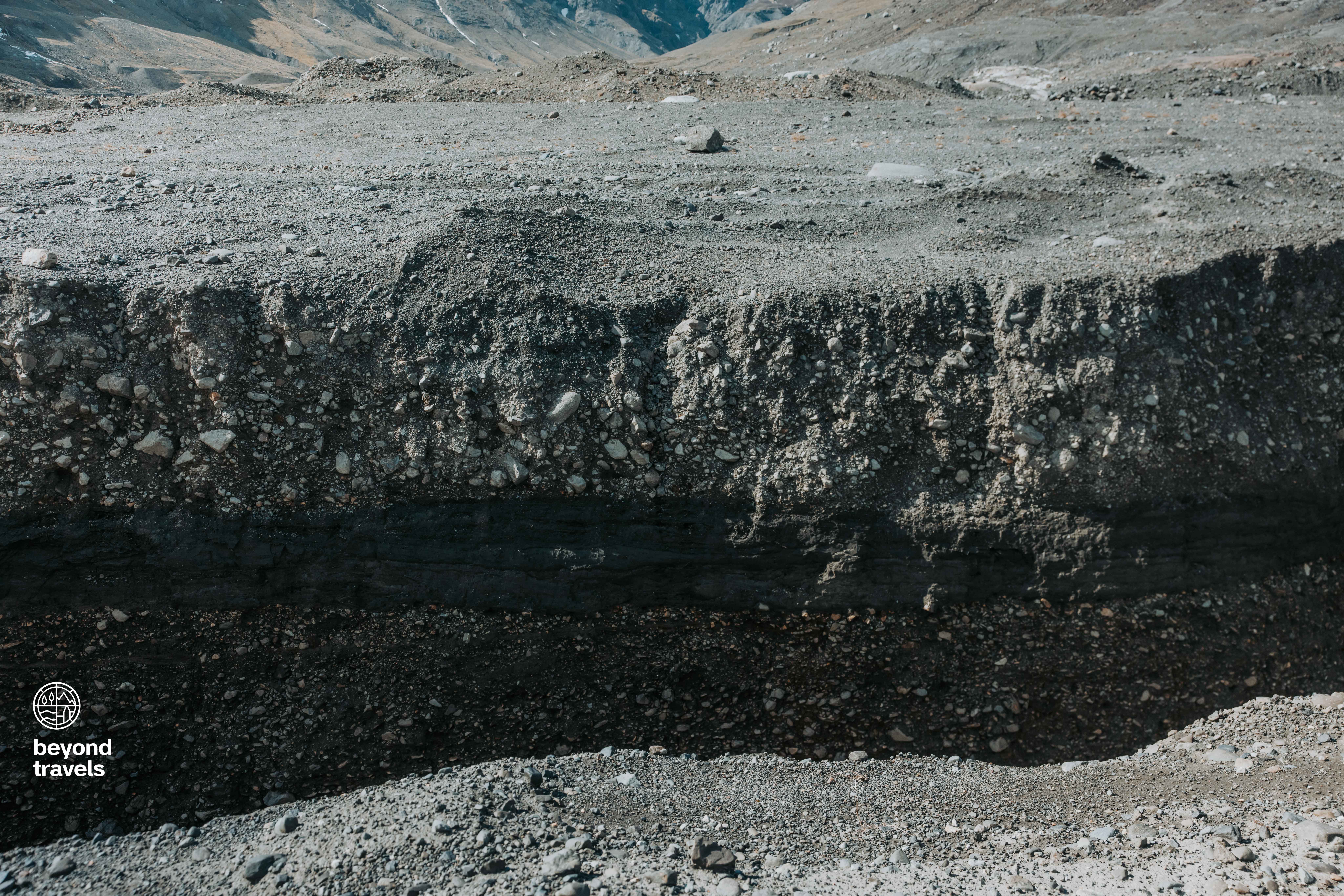
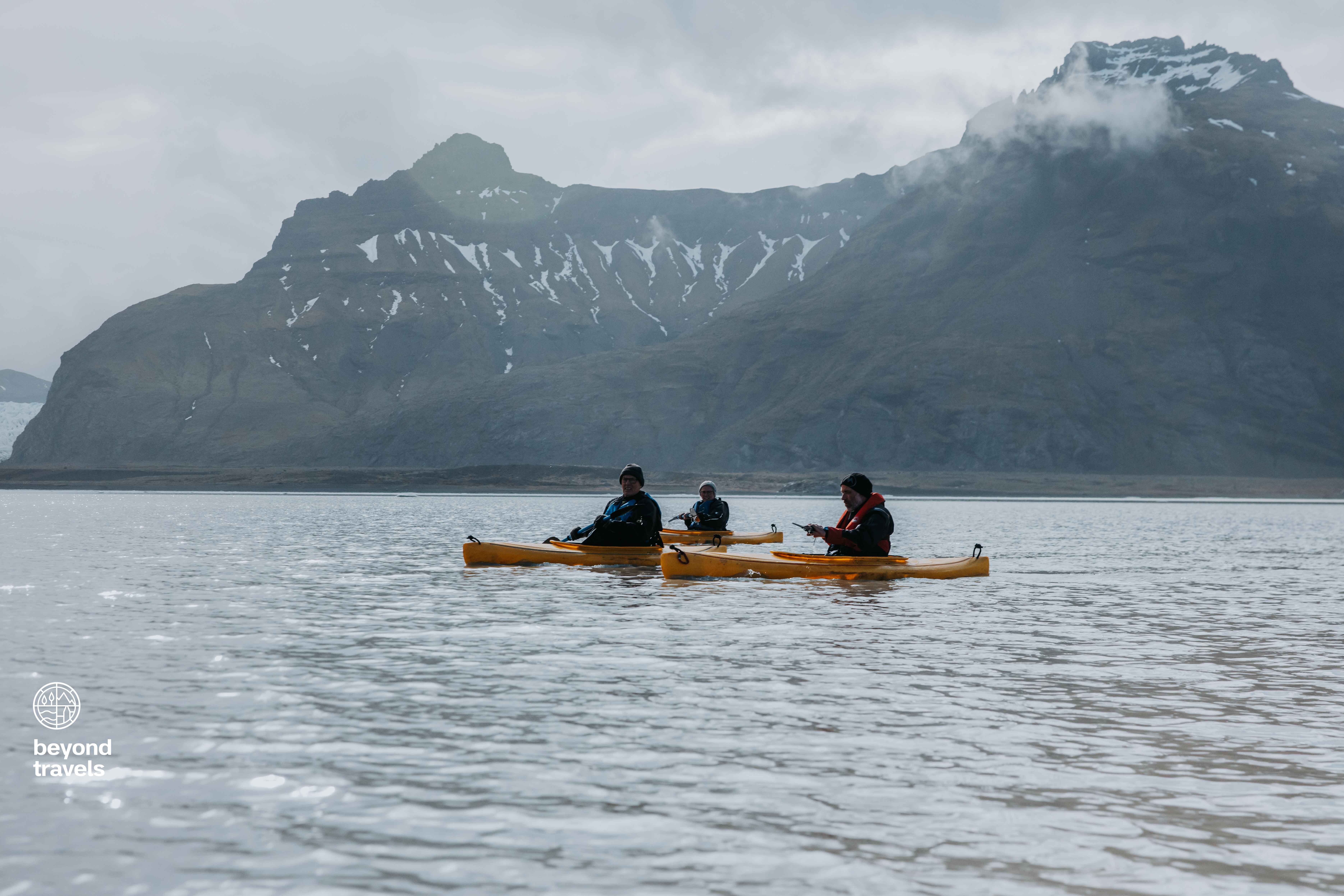
To find proof of the forest we went on an expedition to the foot of the glacier. We crossed the glacial lake by kayak, a beautiful trip as the weather was sunny and mild. The goal was to find pieces of wood from trees. The ultimate evidence that a forest once thrived here. Einar explained how to find the wood: “The melting water from the glacier forms a river which carved a ditch in the soft gravel. The best chance to find pieces of wood is to see if something sticks out of the banks of the ditch.” To get a better idea about how the area looks like, you can watch our Youtube video about this expedition.
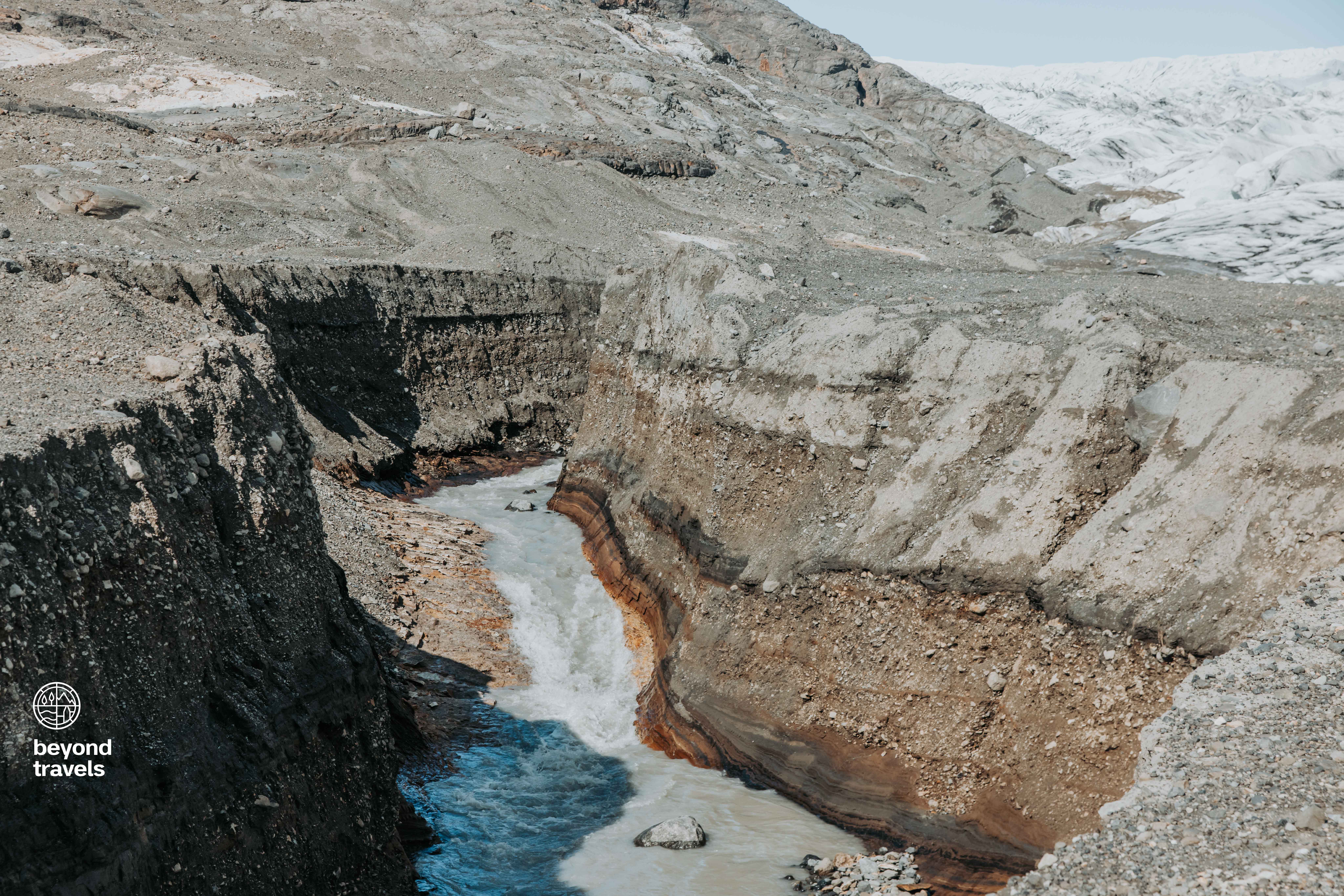
Archaeology and geology use layers of earth to get an idea of how old a certain object is. The deeper the layer, the older. As mentioned earlier, geology is extremely active in Iceland. The river of melting water from the glacier therefore carves deep enough to expose layers of earth dating back to the time of the settlement of Iceland roughly 1.000 years ago. To get exact number about the age of the layers, Einar and Johan must send their findings to a lab in the United States of America.
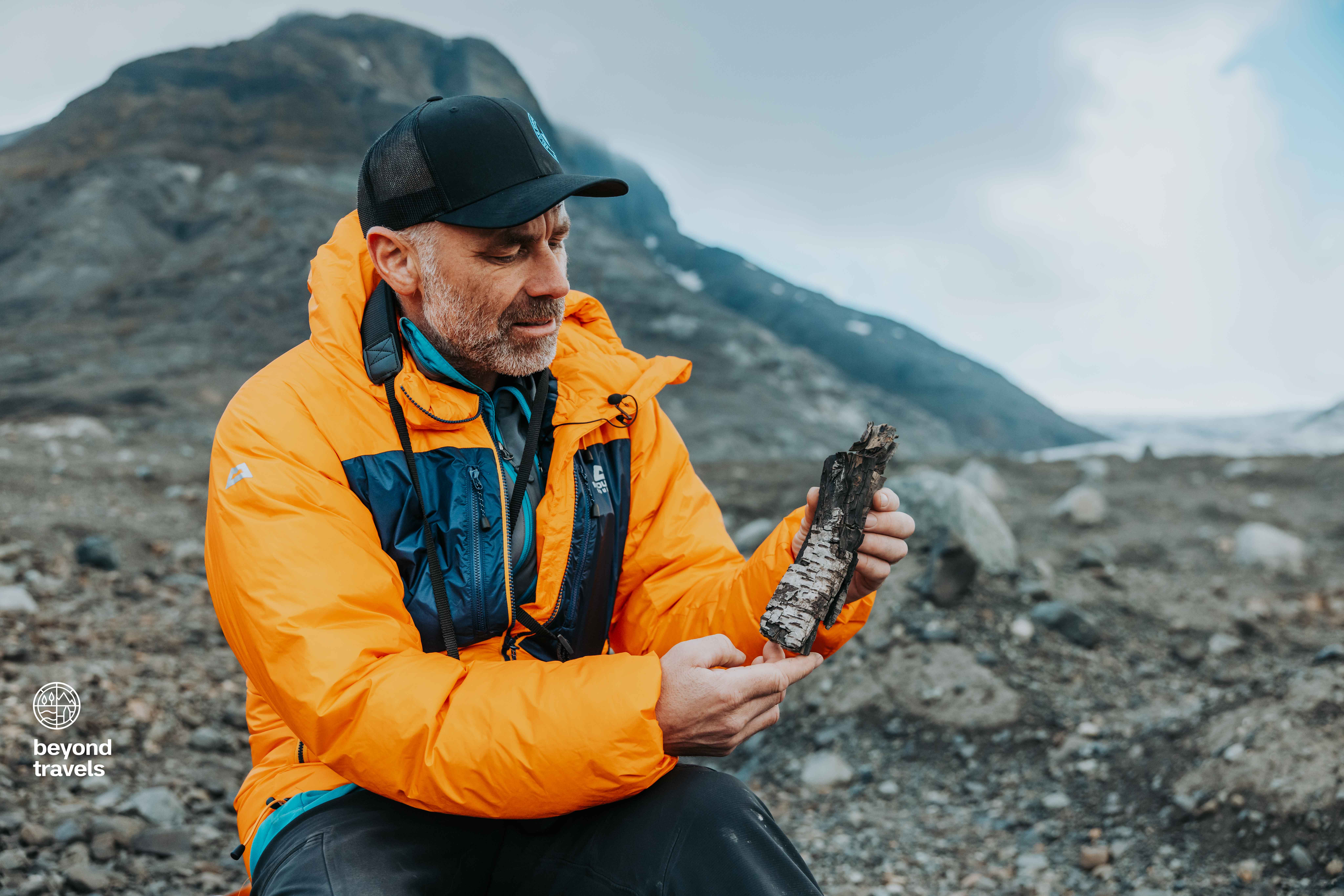
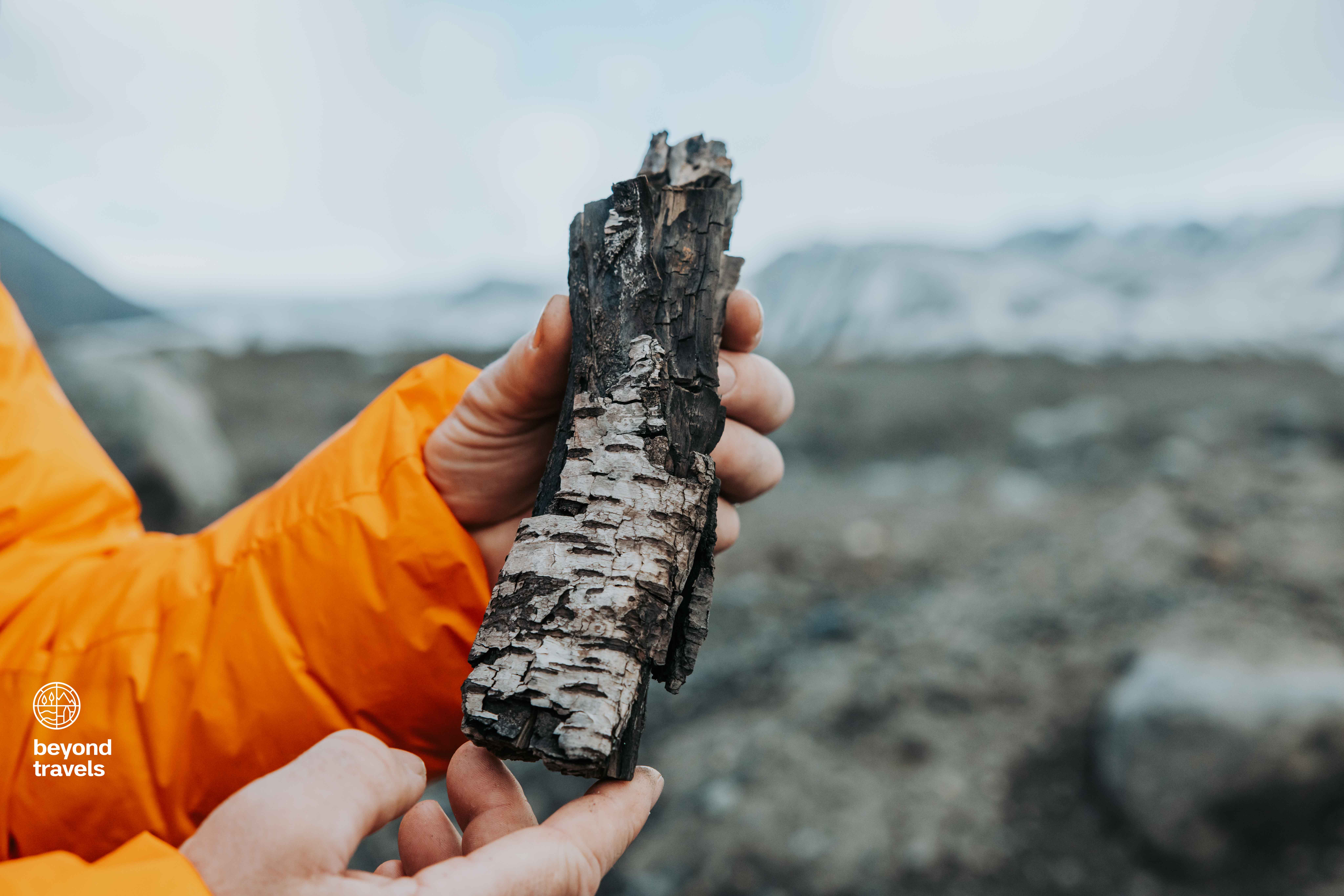
It didn’t took long to find the first piece of wood. Einar found a piece of wood from a birch tree. The branch was not round like a normal tree branch would be, but it was flattened. Einar states the glacier is the reason the wood gets flattened. “It has been pressed by the weight of the glacier for 300 years or 400 years. It’s not round like a tree should be.” Einar explains. He has a smile on his face. These pieces of wood are from the forest where his ancestors, likely, lived.
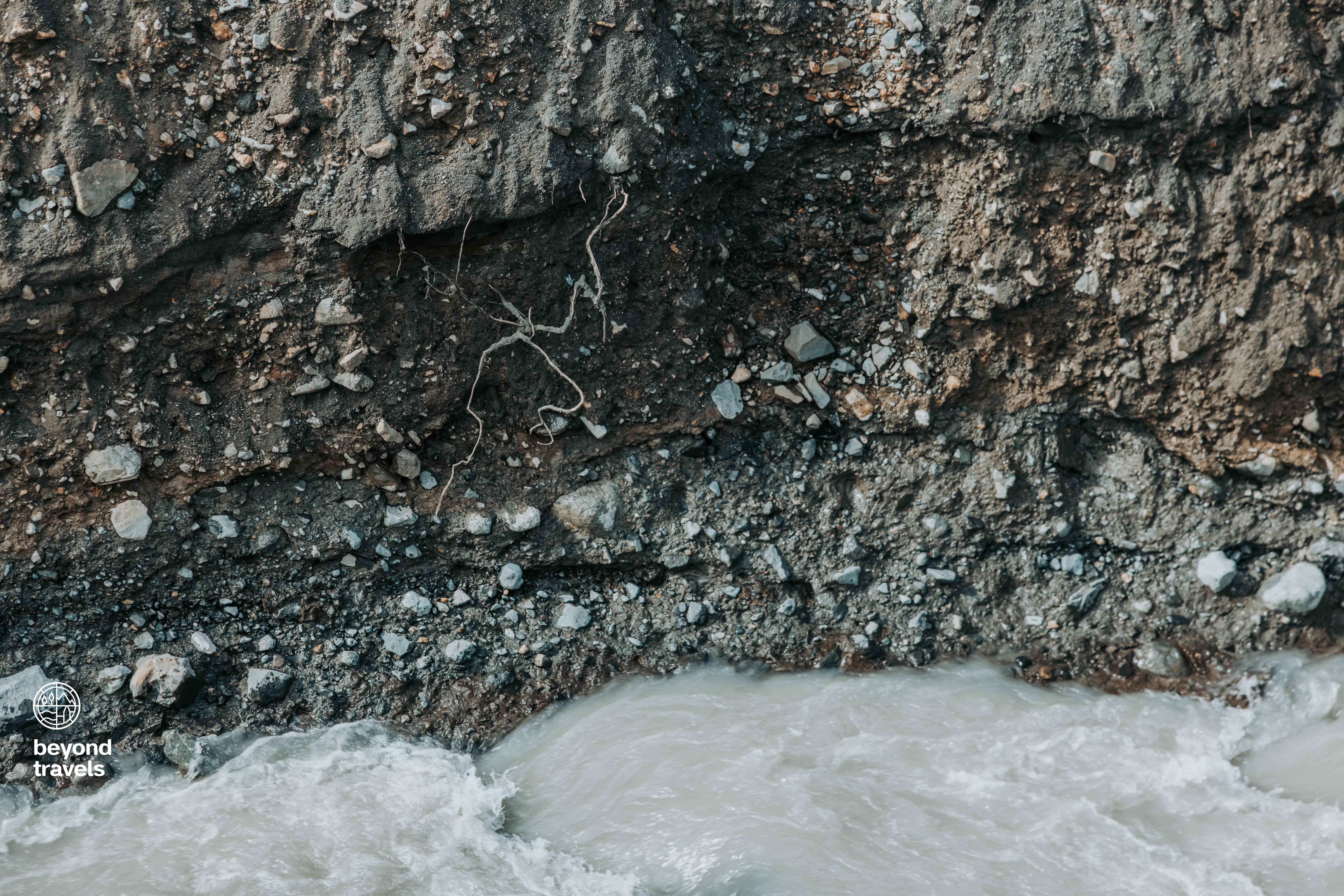
The banks of the ditches show layers of earth with roots sticking out. These roots are too large to be from grasses or small bushes, they are from larger flora like trees. Einar continues: “These are the remains of the vegetation kind of ground that used to be here. There are still some roots left behind.”
Climate Change
The topic everybody talks about: climate change. Einar is sure climate is changing: “This part of the land we are has really been going through dramatic changes. Not only now in the last one hundred years, or the last decades when we talk about climate change, but through the centuries, since the settlement. It’s amazing how much climate has changed back and forth, and is still changing today.”
Words describing climate, in Iceland at least, as a breathing mechanism. It goes back and forth. Let’s summarize. Glaciers once were much smaller than they are right now, temperatures were warmer. Then temperatures decreased, glacier grew rapidly. Forests disappeared and settlements vanished. And in the last one hundred years the glacier is receding again, but it’s still colossal compared to the size it was 1.000 years ago. In geological terms speaking, this timespan is only the blink of an eye. Yet, the dramatic changes in the landscape have a huge impact on the local nature.
Geologist Johan continues about climate change: “At the end of the 19th century the glaciers advanced almost all the way to the ocean. But from 1900 they started to retreat, in the last few decades the retreat has been enormous. This climate change is overall quite negative. Even though it is giving us very good land where trees will grow again, it’s not what we want to have.” The ever-changing landscape is bouncing. Breiðamerkurjökull is, for now, retreating. It’s a reminder that even the enormous bulldozers of ice are fragile. A minor change in our climate results in major changes of the landscape. Nature is fragile.
The Future of the Forgotten Forest
Einar and Johan found evidence of the forest that once stood here. It tells us more about the time of the settlement and, of course, why Einar’s ancestors named this area ‘broad forest’ while there are no trees in sight nowadays. It tells us that the landscape can change dramatically in a relatively short period of time, whether it’s because of human influence, or nature itself. It leaves us with the question what will happen in the future? The future cannot be predicted, but we can try to fill in some blanks already.
The retreating glacier will reveal ‘old’ land. This land is soft and muddy, but fertile. It will take time, but trees will grow again on this land. If climate change keeps getting warmer, and the glacier retreats further inland, there will be a broad forest again at Breiðamerkurjökull someday.
While it’s sad to see the beautiful glacier disappear, it would be amazing to see a new forest come to life and become a new home to a new ecological system. One door closes, another one opens. Except if humans take this opportunity to use the land for different purposes…
If the glacier would disappear, it would possibly be the end of some popular tourist attractions in Iceland. The glacial lagoon with ice bergs and Diamond Beach would no longer exist.
What will be discovered when the ice is gone? Maybe archaeologists will find the remains of settlements and farms which got destroyed by the glacier. Maybe some epic viking items will be found. But maybe some strange sleeping virus will come back to life and cause disease and death… This may sound a bit too extreme, but some scientists fear this scenario at other places where glaciers a shrinking like the Himalayas and the Antarctic.

Why Is This Important?
In a world grappling with the consequences of climate change, scientists are using the remains of this forest as an ecological time machine. The findings unravel the past climate conditions and how it affected flora and fauna. By studying the tree trunks and the glaciers, researchers aim to reconstruct the history of this environment in order to be prepared to reduce the negative effects of climate change in Iceland, and elsewhere on our planet. The forgotten forest at Breiðamerkurjökull is now becoming both a reminder of nature’s destructive powers, but also a warning sign for the decades to come.
Background Information About Einar
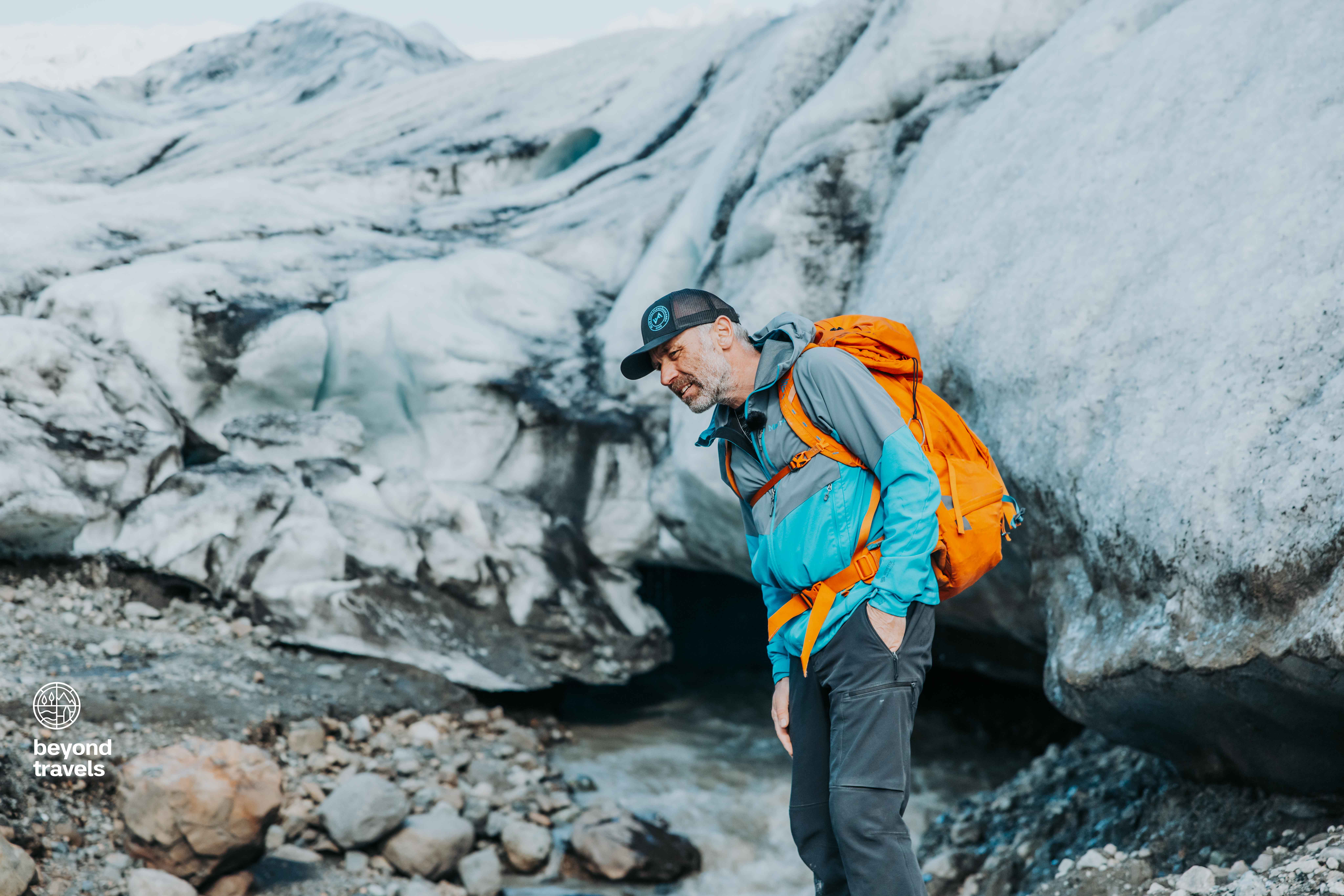
Einar is not just an Icelandic man, he’s a local legend. He is born and raised on his farm in Hofsnes in the Öræfi county which has been the residence of his family since the settlement of Iceland around the year 900 AD. Einar’s farm is located at the foot of Vatnajökull, the largest glacier in Europe. It was his great grandfather Páll Jónsson who first reached Hvannadalshnúkur, the highest peak of Iceland, in 1891. Páll repeated the climb at least a couple of times. He guided Danish soldiers who made maps of Iceland to the summit. Therefore Einar considers his great grandfather to be the first proper mountain guide in Iceland.
Einar started to guide people to Hvannadalshnúkur himself in spring 1994, making him the oldest official mountain guide in the country. He has reached the summit now 317 times (!). The glacier is Einar’s backyard, his soul and his heritage. If there’s anyone who values the masses of ice, it’s Einar. Check out more information about, or book a tour with, Einar on his website.
Go Beyond Travels
Dreaming about a next adventure? We understand. Escape the busy life and get yourself to the most amazing places! We have bundled all worthy locations, tips and recommendations in our travel maps. Everything we create is based upon our own personal experience. Our digital travel maps are fully integrated in Google Maps for optimal navigation and a comfortable interface for our users. Finding the right spots, touristic or off-the-beaten-path, has never been so easy. You can find all our destinations on our website ranging from Iceland, Faroe Islands and Greenland all the way to Montenegro, Ibiza, Portugal, and much more!
Feel free to contact us for further information! Yes, we do private video calls for more tips, advice and recommendations for your travel plans as well. Hope to speak to you soon!
Instagram: Follow the adventure here.
Youtube: Watch our travel videos here.
Facebook: Be part of us here.
Get in touch: Send us an email.


